


MAP AND DATA ROAD INFORMATION
Page 41
If you've noticed an error in this article please click here to report it so we can fix it.
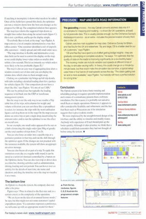
The geocoding process — the way Optrak converts address data into X-Y co-ordinates for mapping and routeing — is driven (for UK operations, at least) by full postcode data. This is usually precise enough, but the Ordnance Survey's Addresspoint service as an extra — includes the precise location of every front door in the UK.
Optrak uses two main suppliers for map data: Ordnance Survey for Britain, and NavTed for the UK and elsewhere. "By and large, OS is a better deal for our UK customers," says Pigden.
"OS and NavTeq have spent a lot of effort getting bridge heights — they are gradually converging on complete solutions," he ssays. "I'm optimistic that the quality of data on the roads is improving significantly on a six-monthly basis."
The routeing model can include variable road speeds at different times of the day, to simulate varying traffic. In theory, this could change on a minute-byminute basis, but that would make the simulation too complex; a typical setup uses three or four bands of road speeds across the day. 'The data's getting better and is more available," says Pigden, "but nobody will have a perfect solution for a long time."