 1
1 2
2 3
3 4
4 5
5 6
6 7
7 8
8 9
9 10
10 11
11 12
12 13
13 14
14 15
15 16
16 17
17 18
18 19
19 20
20 21
21 22
22 23
23 24
24 25
25 26
26 27
27 28
28 29
29 30
30 31
31 32
32 33
33 34
34 35
35 36
36 37
37 38
38 39
39 40
40 41
41 42
42 43
43 44
44 45
45 46
46 47
47 48
48 49
49 50
50 51
51 52
52 53
53 54
54 55
55 56
56 57
57 58
58 59
59 60
60 61
61 62
62 63
63 64
64 65
65 66
66 67
67 68
68 69
69 70
70 71
71 72
72 73
73 74
74 75
75 76
76 77
77 78
78 79
79 80
80 81
81 82
82 83
83 84
84 85
85 86
86 87
87 88
88 89
89 90
90 91
91 92
92 93
93 94
94 95
95 96
96 97
97 98
98 99
99 100
100 101
101 102
102 103
103 104
104 105
105 106
106 107
107 108
108 109
109 110
110 111
111 112
112 113
113 114
114 115
115 116
116 117
117 118
118 119
119 120
120 121
121 122
122 123
123 124
124 125
125 126
126 127
127 128
128 129
129 130
130 131
131 132
132 133
133 134
134 135
135 136
136 137
137 138
138 139
139 140
140 141
141 142
142 143
143 144
144 ITIS Nav-Trak for the masses
Page 15
If you've noticed an error in this article please click here to report it so we can fix it.
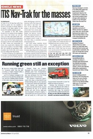
i by Colin Barnett le fruits of the ITIS Nav-Trak traffic flow ionitoring system are now available to perators of all types of vehicle, thanks to le launch of the latest addition to the iemens VDO satellite navigation system. The integration of the TMC (Traffic lessage Channel) system into the navigation evice means that drivers can not only ?ceive up-to-date, high-quality traffic inforiation but can also be led around alternative )utes. Owners of the Toyota Avensis have ad access to this for some months and the ew BMW 7-Series also incorporates the ervice—now anyone with a Siemens VDO layton sat-nay system, or an earlier Phillips arin, can upgrade by purchasing a TMCompatible map CD for £50, and in some ases also adding a 1150 TMC module.
The data provided by ITIS is gathered in arious ways including traditional "journalise" sources such as the Trafficlink service, police and highways authorities, cameras, traffic flow loops and even phone-in "jam lines", But much of the information also comes in the form of 'floating vehicle data" from remote data collection units fitted to the Eddie Stobart and National Express fleets. The speed and location of all of these vehicles, which cover a combined annual mileage of
TO million miles, is constantly monitored and analysed by ITIS.
With traffic delays identified, drivers receive either a graphical display of the location—together with the cause, length and direction of the delay—or a textual message, depending on the hardware used.
The information is actually carried on the ADS system using the Classic FM frequency, which is said to have the widest coverage of any non-BBC station at some 95% of the UK
by population, although most hardware has a signal splitter which means the driver can simultaneously listen to another station.
The mapping system currently covers some 6,600 'road sectors', which will eventually rise to 15,000. That may not sound much, but the whole UK motorway network is covered by 815 sectors.
• See also CM 19-25 July 2001 OTIS NavTrak) and CM 20 Dec 2001-2 Jan 2002 (VDO Dayton sat-navl.