Roadmap of danger
Page 10

If you've noticed an error in this article please click here to report it so we can fix it.
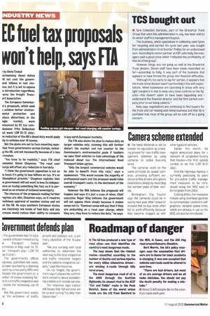
• The AA has produced a new type of road atlas—one that identifies the country's most dangerous roads.
The map shows that the riskiest routes—classified according to the number of deaths and serious injuries for every billion kilometres driven— are winding A-roads through hilly rural areas.
The most dangerous road of all is the A889 through the Scottish Highlands; its closest rival is the A537 "Cat and Fiddle" route in the Peak District. Some of the worst urban roads are the Al2 from Romford to the M25, in Essex, and the A56 ring road around Runcorn, Cheshire.
Bert Morris, the AA's policy manager, says the assumption that drivers are to blame for most accidents is changing; it was now accepted that vehicles and roads could be altered to save lives.
"There are bad drivers, but most of us are average drivers and we all make mistakes. You should not pay the death penalty for making a mistake."


