


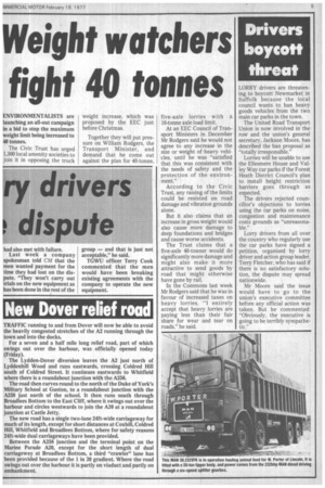
New Dover relief road
Page 7
If you've noticed an error in this article please click here to report it so we can fix it.
TRAFFIC running to and from Dover will now be able to avoid the heavily congested stretches of the A2 running through the town and into the docks.
For a seven and a half mile long relief road, part of which swings out over the harbour, was officially opened today (Friday).
The Lydden-Dover diversion leaves the A2 just north of Lyddenhill Wood and runs eastwards, crossing Coldred Hill south of Coldred Street. It continues eastwards to Whitfield where there is a roundabout junction with the A256.
The road then curves round to the north of the Duke of York's Military School at Guston, to a roundabout junction with the A258 just north of the school. It then runs south through Broadlees Bottom to the East Cliff, where it swings out over the harbour and circles westwards to join the A20 at a roundabout junction at Castle Jetty.
The new road has a single two-lane 24ft-wide carriageway for much of its length, except for short distances at Coxhill, Coldred Hill, Whitfield and Broadlees Bottom, where for safety reasons 24ft-wide dual carriageways have been provided.
Between the A258 junction and the terminal point on the Marine Parade 420, except for the short length of dual carriageway at Broadlees Bottom, a third "crawler" lane has been provided because of the 1 in 20 gradient. Where the road swings out over the harbour it is partly on viaduct and partly on embankment.