Government forecasts show gridlock is near
Page 10

If you've noticed an error in this article please click here to report it so we can fix it.
• Road organisations have warned of mass gridlock following the release of Government road maps that show congestion will double over the next decade.
The Government published the "stress" maps last week as a result of parliamentary questions tabled by MPs from both sides of the house.
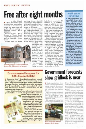
The maps detail regional congestion projections for the next 10 and 20, years categorising trunk roads and motorways green, orange or red depending on the predicted levels of congestion.
Worst affected areas are expected to be London, the South-East, the West Midlands and the North-West, with the M25 likely to experience rushhour levels of congestion for most of the working day.
The RAC is calling on the Government to stop cutting the road maintenance budget. It says the maps confirm a nightmare vision of the future that will threaten the movement of people and goods across the whole of the country.
The British Road Federation says: "We are obviously concerned about the forecasts but what we want to see now from the Government is more focused attention on existing problems in the road network."


