


Route guides for Plymouth's new Ferryport
Page 8
If you've noticed an error in this article please click here to report it so we can fix it.
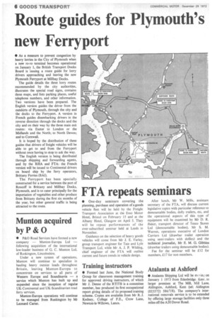
• As a measure to prevent congestion by heavy lorries in the City of Plymouth when a new ro-ro terminal becomes operational on January 1, the British Transport Docks Board is issuing a route guide for lorry drivers approaching and leaving the new Plymouth Ferryport at Millbay Docks.
The guide details the three lorry routes recommended by the city authorities, illustrates the special road signs, contains three maps, and lists parking places, useful telephone numbers, and other information. Two versions have been prepared. The English version guides the driver from the outskirts of Plymouth, through the city and the docks to the Ferryport. A version in French guides disembarking drivers in the reverse direction through the docks and the city and on their way by the three main exit routes: via Exeter to London or the Midlands and the North; to North Devon; and to Cornwall.
It is hoped by the distribution of these guides that drivers of freight vehicles will be able to get to and from the Ferryport without once having to stop to ask the way.
The English version is being distributed through shipping and forwarding agents, and by the RHA and FTA: the French version will be issued to Continental drivers on board ship by the ferry operators, Brittany Ferries (BAI).
The Ferryport has been specially constructed for a service between the port of Roscoff in Brittany and Millbay Docks, Plymouth, and is to cater principally for the importation of vegetables and other produce from Brittany during the first six months of the year, but other general traffic is being attracted to the route.