 1
1 2
2 3
3 4
4 5
5 6
6 7
7 8
8 9
9 10
10 11
11 12
12 13
13 14
14 15
15 16
16 17
17 18
18 19
19 20
20 21
21 22
22 23
23 24
24 25
25 26
26 27
27 28
28 29
29 30
30 31
31 32
32 33
33 34
34 35
35 36
36 37
37 38
38 39
39 40
40 41
41 42
42 43
43 44
44 45
45 46
46 47
47 48
48 49
49 50
50 51
51 52
52 53
53 54
54 55
55 56
56 57
57 58
58 59
59 60
60 61
61 62
62 63
63 64
64 65
65 66
66 67
67 68
68 69
69 70
70 71
71 72
72 73
73 74
74 75
75 76
76 77
77 78
78 79
79 80
80 81
81 82
82 83
83 84
84 85
85 86
86 87
87 88
88 89
89 90
90 91
91 92
92 93
93 94
94 95
95 96
96 97
97 98
98 99
99 100
100 101
101 102
102 103
103 104
104 105
105 106
106 107
107 108
108 109
109 110
110 111
111 112
112 113
113 114
114 115
115 116
116 117
117 118
118 119
119 120
120 121
121 122
122 123
123 124
124 125
125 126
126 127
127 128
128 129
129 130
130 131
131 132
132 133
133 134
134 135
135 136
136 137
137 138
138 139
139 140
140 141
141 142
142 143
143 144
144 145
145 146
146 147
147 148
148 149
149 150
150 151
151 152
152 153
153 154
154 155
155 156
156 HOW GPS WORKS
Page 33
If you've noticed an error in this article please click here to report it so we can fix it.
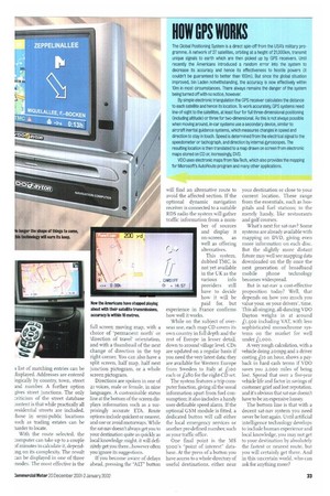
The Global Positioning System is a direct spin-off from the USA's military programme. A network of 27 satellites, orbiting at a height of 21,000km, transmit unique signals to earth which are then picked up by GPS receivers. Until recently the Americans introduced a random error into the system to decrease its accuracy and hence its effectiveness to hostile powers (it couldn't be guaranteed to better than 100m). But since the global situation improved, bin Laden notwithstanding, the accuracy is now effectively within 10m in most circumstances. There always remains the danger of the system being turned off with no notice, however.
By simple electronic triangulation the GPS receiver calculates the distance to each satellite and hence its location. To work accurately, GPS systems need line-of-sight to the satellites, at least four for full three-dimensional positioning (including altitude) or three for two-dimensional. As this is not always possible when moving around, in-car systems use a secondary device, similar to aircraft inertial guidance systems, which measures changes in speed and direction to stay in touch. Speed is determined from the electrical signal to the speedometer or tachograph, and direction by internal gyroscopes. The resulting location is then translated to a map drawn on screen from electronic maps stored on CD or, increasingly, DVD. VDO uses electronic maps from NavTech, which also provides the mapping for Microsoft's AutoRoute program and many other applications.