


London Mapped in Detail
Page 78
If you've noticed an error in this article please click here to report it so we can fix it.
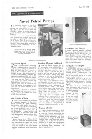
A MAP of Greater London and the 1-1 surrounding area published by the Ordnance Survey, Chessington, Surrey, will be of particular value for journeys through London. The new map has a scale of half an inch to one mile and covers the Home Counties from High Wycombe in the west to Chelmsford in the east, and from Bedford in the north to Horsham in the south.
Most of the detail of Ordnance Survey one-inch maps has been retained and the road network is shown under six different classifications — from motorways to untarred country roads. To obtain clarity, minor roads in the densely builtup areas have had to be left out, but all major roads and through routes are clearly shown and numbered.
The new map is available from Ordnance Survey agents and from most booksellers. It can be obtained in three forms—as a single flat sheet (measuring 3 ft. 6 in. x 2 ft. 81 in.) for 4s. 6d.; folded in a cover for 5s. 6d., and mounted on cloth and folded in a cover for 7s. 6d.