Atlas
31st August 1973, Page 55
31st August 1973
Page 55

Page 55, 31st August 1973
— Atlas
Close
Noticed an error?
If you've noticed an error in this article please click here to report it so we can fix it.
If you've noticed an error in this article please click here to report it so we can fix it.
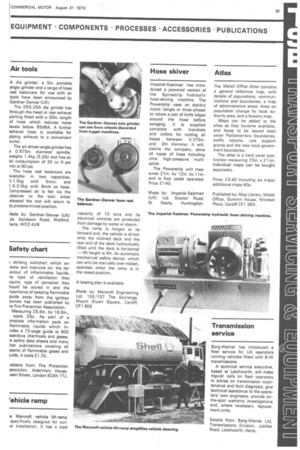
The Welsh Office Atlas contains a general reference map, with details of populations, communications and boundaries; a map of administrative areas; three on population change by local authority area, and a forestry map.
Maps can be added to the atlas as they become available, and those to be issued soon cover Parliamentary boundaries, traffic volume, rate support grantsand the new local government boundaries.
The atlas is a hard cover publication measuring 23in. x 21 in. Individual maps can be bought separately.
Price: E3.40 including six maps; additional maps 40p.
Published by: Map Library, Welsh Office, Summit House, Windsor Place, Cardiff CF1 35X.


